

Meet the Founder
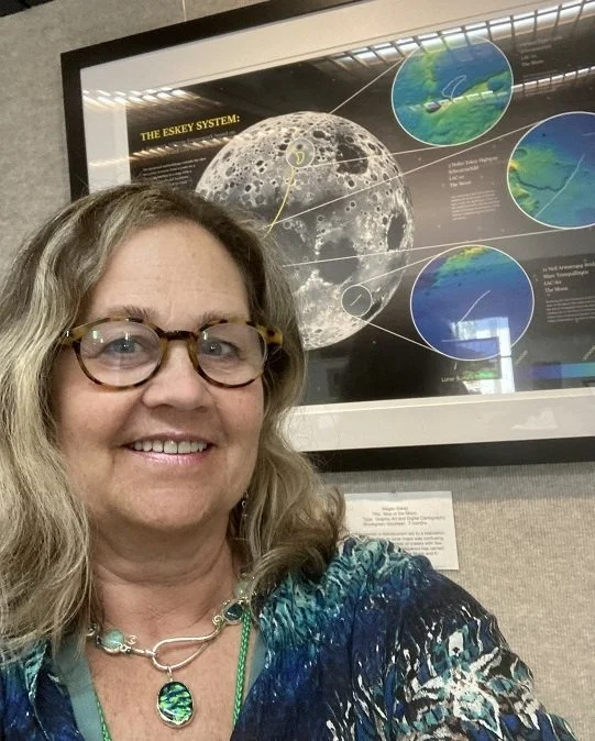
Megan Eskey
We're not here to follow trends—we're here to build something timeless. With a blend of creativity, strategy, and heart, we help planetary cartography come to life.
We have defined a syntax for planetary addresses and a lexicon for the first roads in space. We are constructing a language for space roadbotics, in our collective quest to become a multiplanetary species.
The space roadbotics end game won’t be played in boardrooms, but rather in space agencies around the world. The next space race may literally be that: a race along the surface of the Moon.
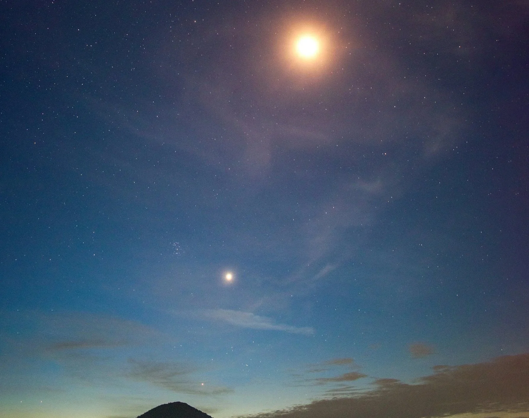
Missions to the Moon and Mars
Although charting the planetary maps is relatively straightforward and leverages NASA open data and Quantum GIS open source software, the complexity lies in the coordination with national space agencies, including NASA. A minimum viable product might include only the 32 roads I have identified, but any realistic map will include roads from countries that have a stake in the surface exploration of the Moon and Mars.
Pegasus
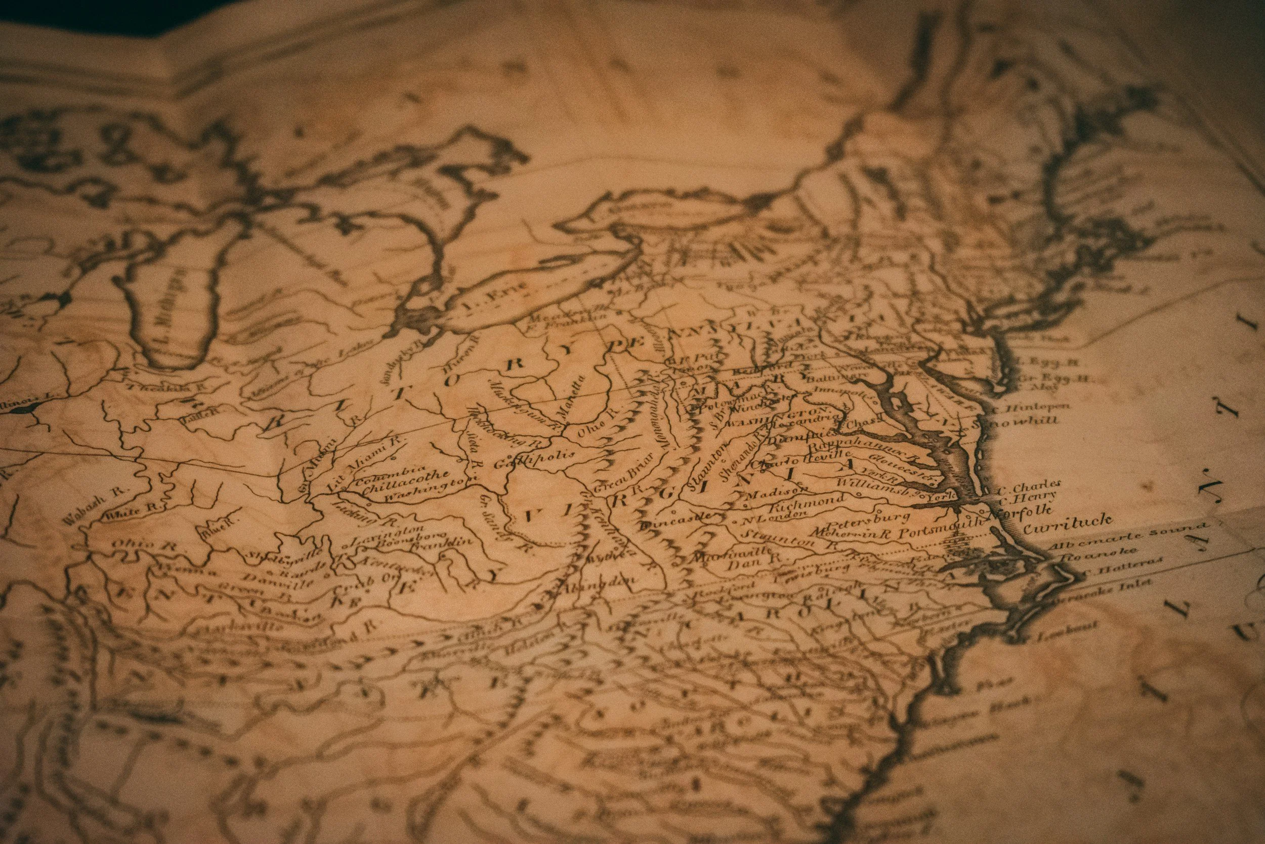
One of my inspirations for making my planetary maps was my father’s cousin, Clarence Kylander. Clarence was an avid map collector. He bought his first two maps in 1989 while on vacation in Hamilton, Bermuda from a shop called Pegasus. They were maps of the New England coastal area from the 1700s, where he lived. When he returned from the vacation, Clarence quickly began buying more maps that interested him. He studied and researched the history of maps and mapmaking and started attending auctions. In 1999, with the help of a friend, he created his now defunct Web site, snugharbormaps.com, through which he sold maps, atlases and prints from his extensive collection, with prices ranging from $25 to $2500.
Entrepreneurs in Space
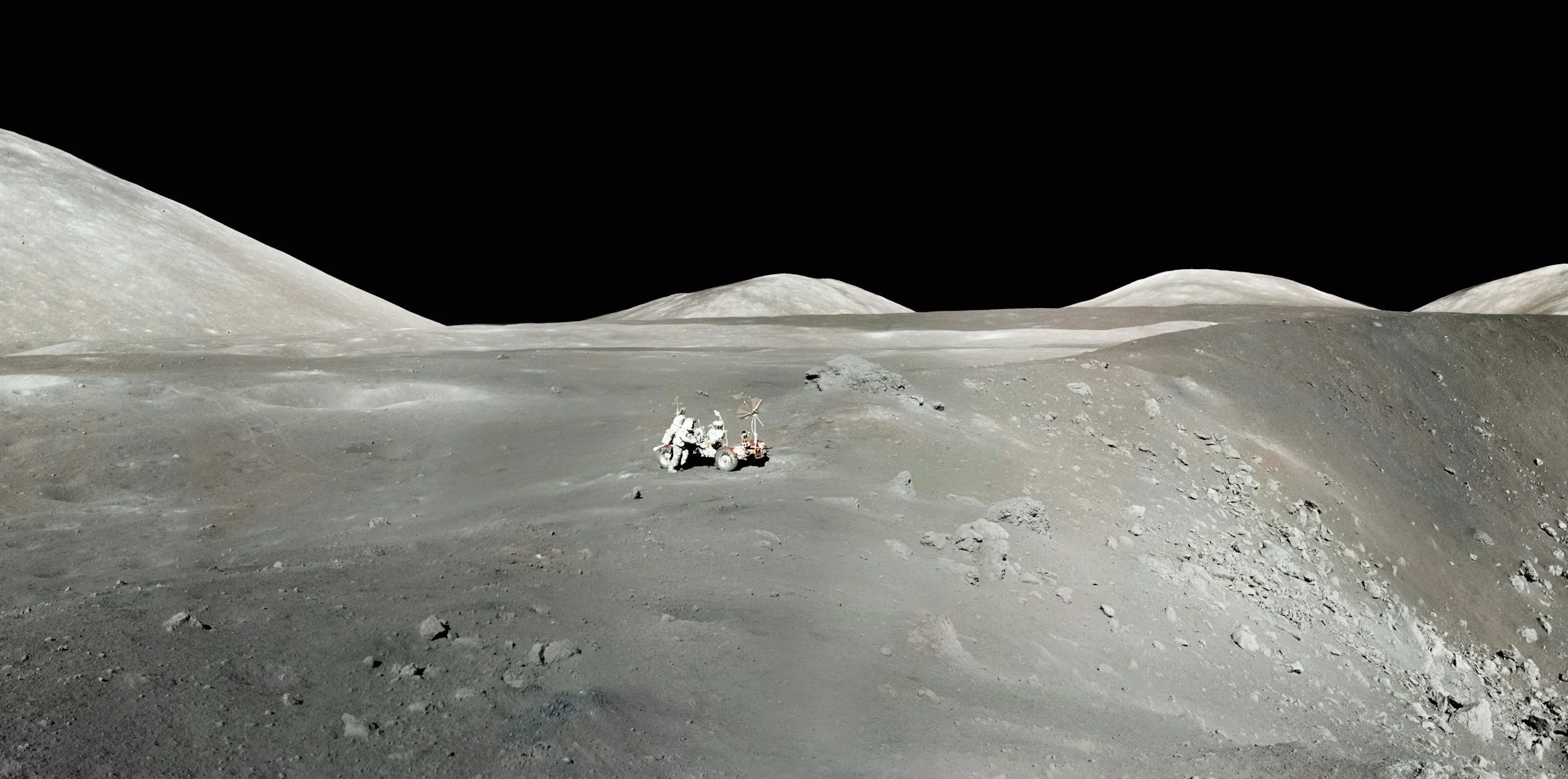
China has demonstrated great prowess and progress, particularly relative to lunar operations. They are one of the few current world powers that missed the last global era of expansion, and China will not miss such an opportunity again. With budget limitations here in the U.S., China is on a trajectory to potentially outspend America in space. Therefore, to prevent Chinese dominance, we must out-entrepreneur them. Our journey is to the Moon and Mars, but by leveraging administrative approvals to coordinate and incentivize commercial space development, we can ensure that humanity’s destination in the final frontier is peace and prosperity.

Q & A with Charles Cormier
When did you realize you were playing a completely different game than everyone else?
I was amazed to discover that there were no historical precedents for the planetary road maps. At no time in history has another human made maps of the Moon and Mars that include a system of roads. Why not? Even the early astronomers could have made rudimentary maps by drawing routes between the landforms that they viewed through their lenses. Certainly during the Apollo era, while men on rovers were roaming the surface of the Moon, I would have expected to see a proposed system of roads at the various lunar landing sites. Space mining is still a ways off, but that is another target market for planetary roads, yet no one else is playing in my sandbox.
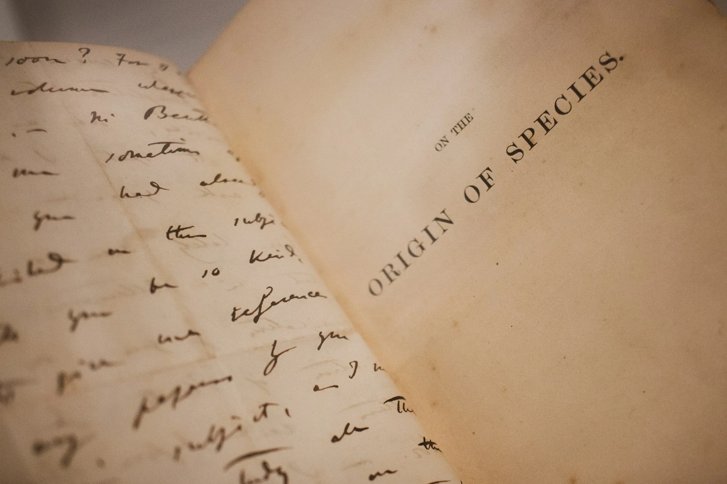
What are the Right Questions?
AI is one of many technologies that creates a sheltering effect from external threats. So, if technology and culture are keeping Homo sapiens from experiencing natural selection, how will humans evolve in the future? Will physical traits remain consistent while consciousness continues to evolve? Are there steps that we can take collectively to accelerate the pace of the evolution of consciousness? Are there consequences to having so many humans trapped in a prolonged, dark, regressive consciousness that may lead to reverse evolution or stagnation over time?

Hero’s Journey
In the case of Joseph Campbell, he suggests making a list of peak experiences in your life and drawing a timeline through them. This will give you some indication of your next step, taking you back to people and events that were significant, and in my case, represented unfinished business. Then, from there, you can begin to plan your next adventure, seeking new experiences that are similar to the old ones, or at least reminiscent of them to the point where those old emotions and memories begin to surface.
Invisible Cities
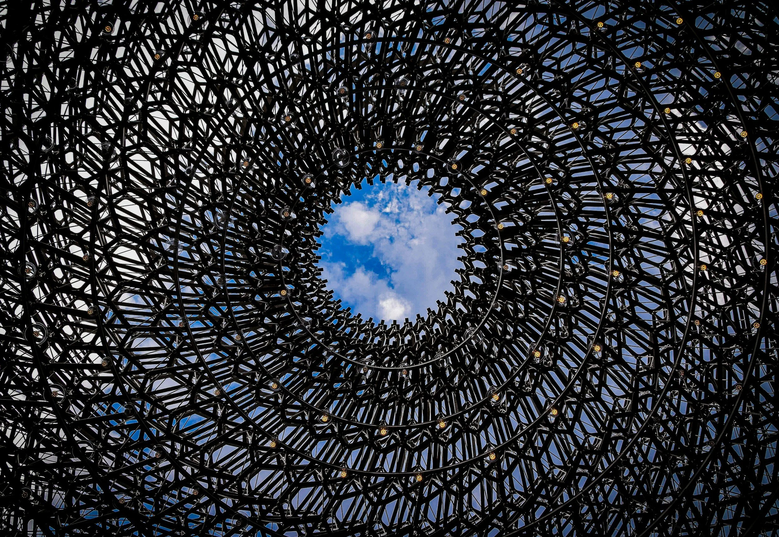
One of the books that was inspirational to my planetary mapping process is Invisible Cities by Italo Calvino. In the book, written in 11 sections with titles such as Cities & Memory, Hidden Cities, and Continuous Cities, Marco Polo describes cities he has seen to Kublai Khan, who is afraid that his power is an illusion. There are 55 cities, but instead of describing them in a literal fashion, Polo describes them as metaphors. He answers Khan’s questions indirectly, suggesting that memory and language are imperfect, and therefore no city can be sufficiently captured by stories or maps.

Alternative Structure of the Union
An amusing geographical fantasy will give some intuition for this kind of quasi-isomorphism. (Incidentally, this fantasy is somewhat similar to a geographical analogy devised by M. Minsky in his article on "frames", which can be found in P. H. Winston's book The Psychology of Computer Vision.) Imagine that you are given a strange atlas of the USA, with all natural geological features pre-marked - such as rivers, mountains, lakes, and so on-but with nary a printed word. Rivers are shown as blue lines, mountains by color, and so on.
Conscious Evolution
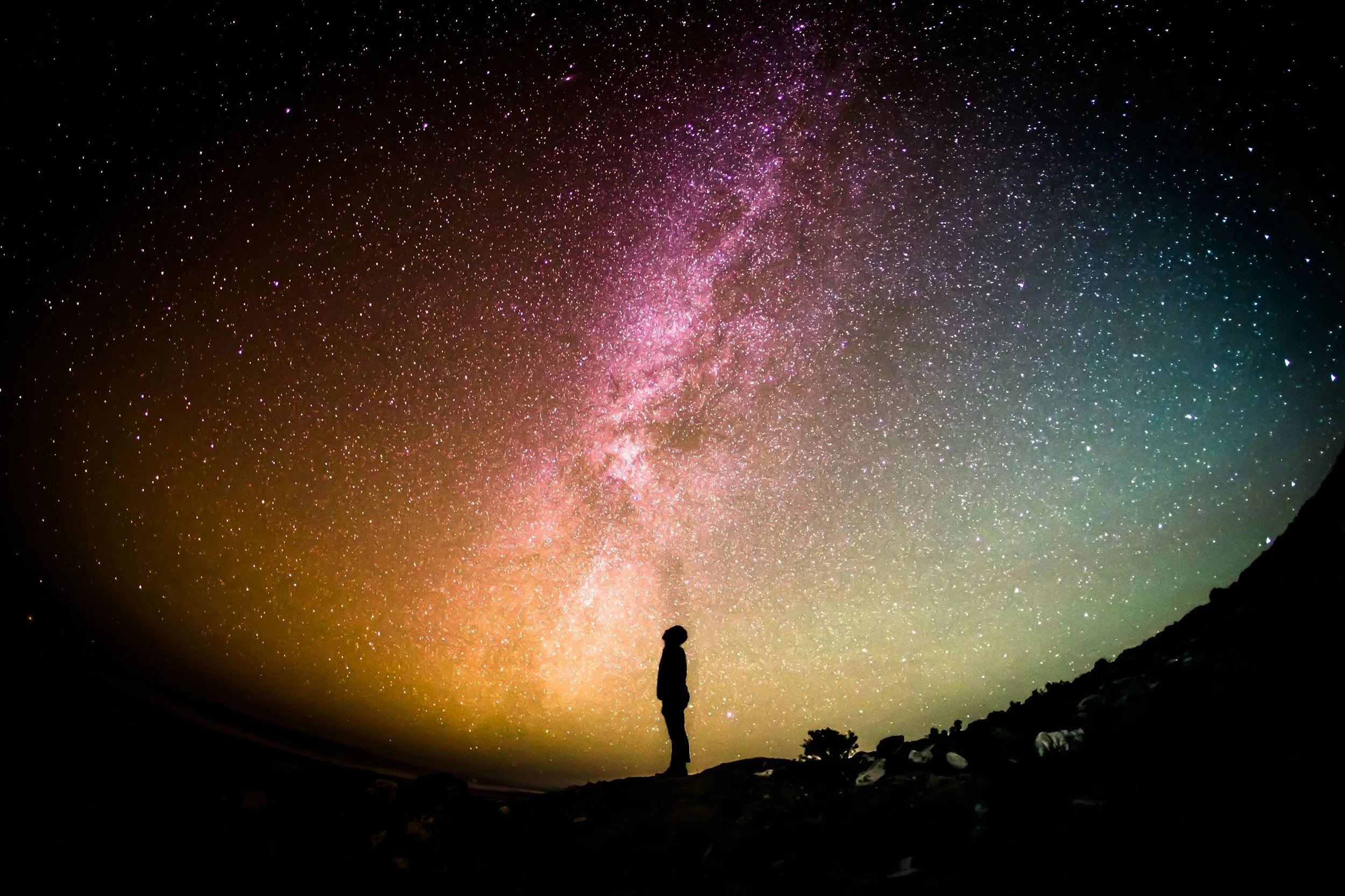
Driven by learning, consciousness and cognition evolved further. In some lineages, selection for increased learning capacity led to the gradual evolution of imaginative, dreaming animals. They did not just learn about aspects of their world; they also learned about how events unfolded in time. They recalled past events— they could recall when and where a particular event happened, and they planned ahead by recombining aspects of their recollections and evaluating the planned, imagined event.
GPS in Space
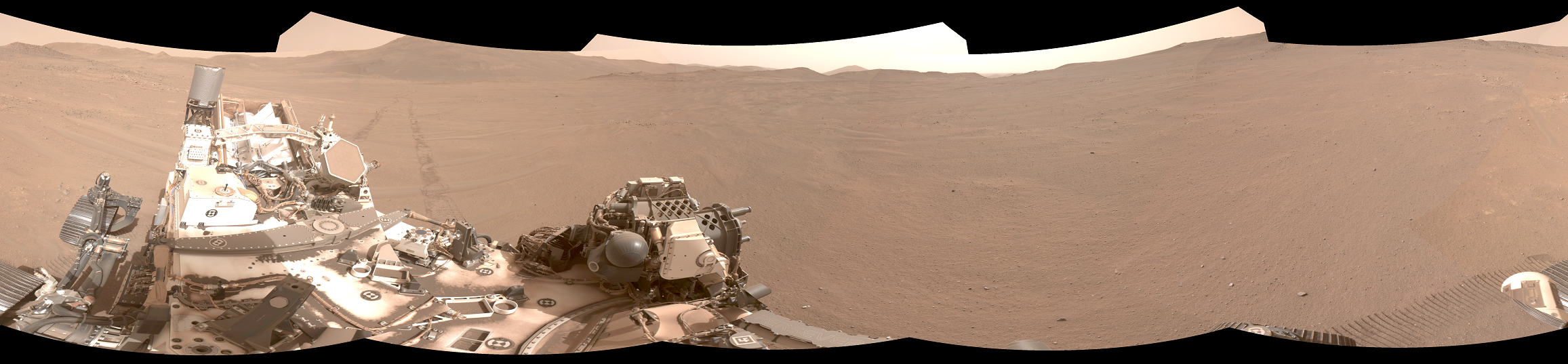
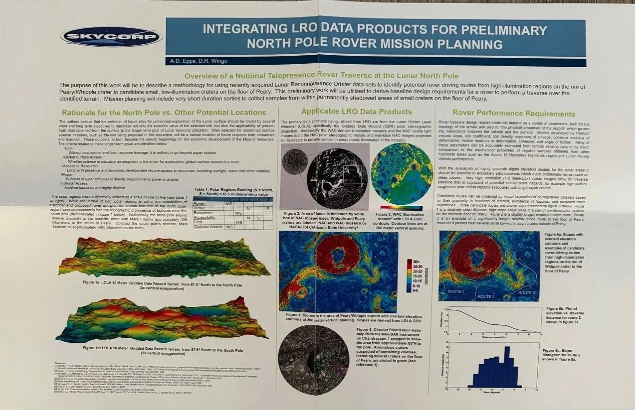
I don’t have a lot to add to the literature on GPS in Space, but I do want to mention it briefly as a key enabler for faster roadbots. The problem with rovers today is that they have to communicate with controllers on Earth, and therefore can’t go very far or very fast. If we want to lay down a network of rover tracks on the Moon and Mars for future astronauts to travel along, we will need to accelerate the pace of autonomous rovers. Here are two examples of teams that are working on GPS in Space, or technologies that are similar in concept - one on Mars and one on the Moon.
Finger Pointing to the Moon
Although imitation is the sincerest form of flattery, I think the highest form of human intelligence is best represented by those who can do what has never been done before: inventors, astronauts, aviators, innovators, artists, musicians - anyone who is breaking the mold in significant and disruptive ways. It’s too easy to imitate what others have done; it’s a lot harder to find something that hasn’t been done before and then beat everyone else to the finish line.
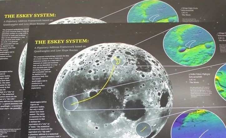
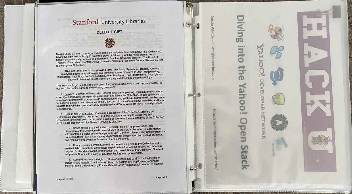
Cataloging our Lunar Map at Stanford University
Our lunar map has arrived at Stanford, and the next step is to make it readily available to students and faculty via online search tools. I started the process by donating our map to the David Rumsey Map Collection, but found that the physical maps are archived at the Branner Earth Sciences Library & Map Collections.
Historical “Firsts” in Space: Precedence and Chronology
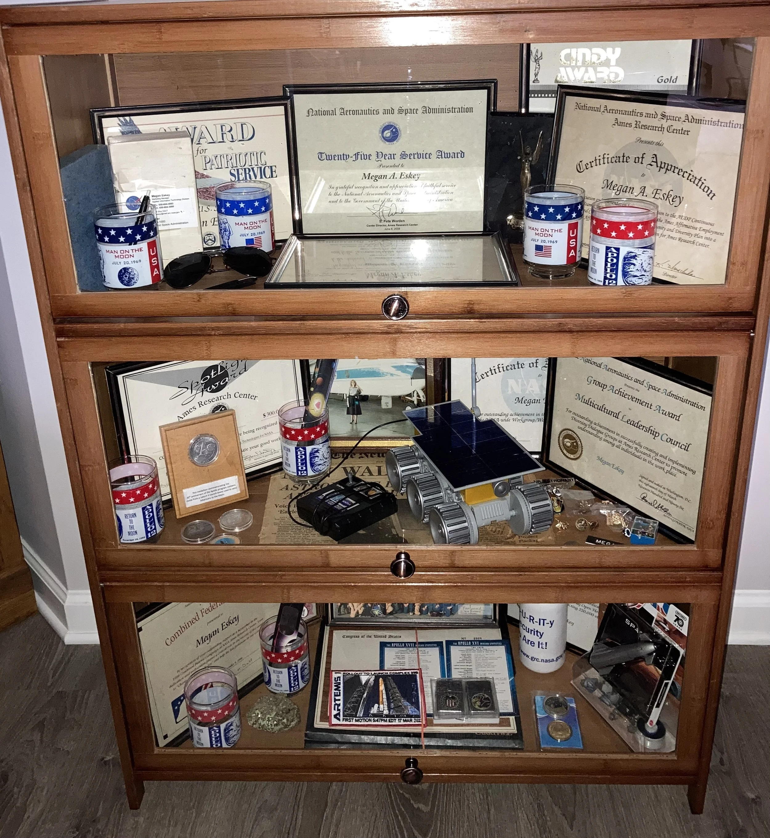
Our memorabilia gallery serves multiple purposes. It provides historical context for our maps, in terms of chronology as well as precedence. It also provides a reference for people who don’t know much about space exploration, but want to get involved. The space pioneers I have highlighted are good candidates for names of additional planetary roads.
Space Memorabilia
My winnings from Lunar Legacies have arrived, and as always, do not disappoint. Signed Apollo 13 documentation directly related to the Lunar Module is among the most coveted in Apollo collecting, as it connects both to the mission's planned lunar exploration and its legendary survival story. The folder is in good condition, with some minor wear along the edges.
Mars
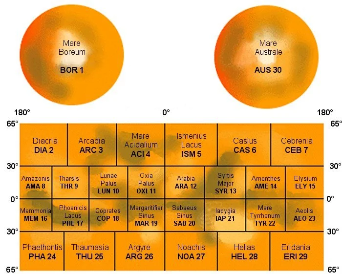
Our next step is to determine the Top 5 landing sites and destinations that are optimal for charting roads on Mars. To date, we have located 3 out of 8 Martian roads: Tharsis Cave Loop, Mark Watney Highway and Ray Bradbury Road. Connecting the Mars landing sites is another useful exercise, allowing for the definition of "safety zones" within, but not between, different countries, using locations defined by international researchers. We are actively seeking clients to commission our Mars maps, with 8 inaugural roads.
The Space Race
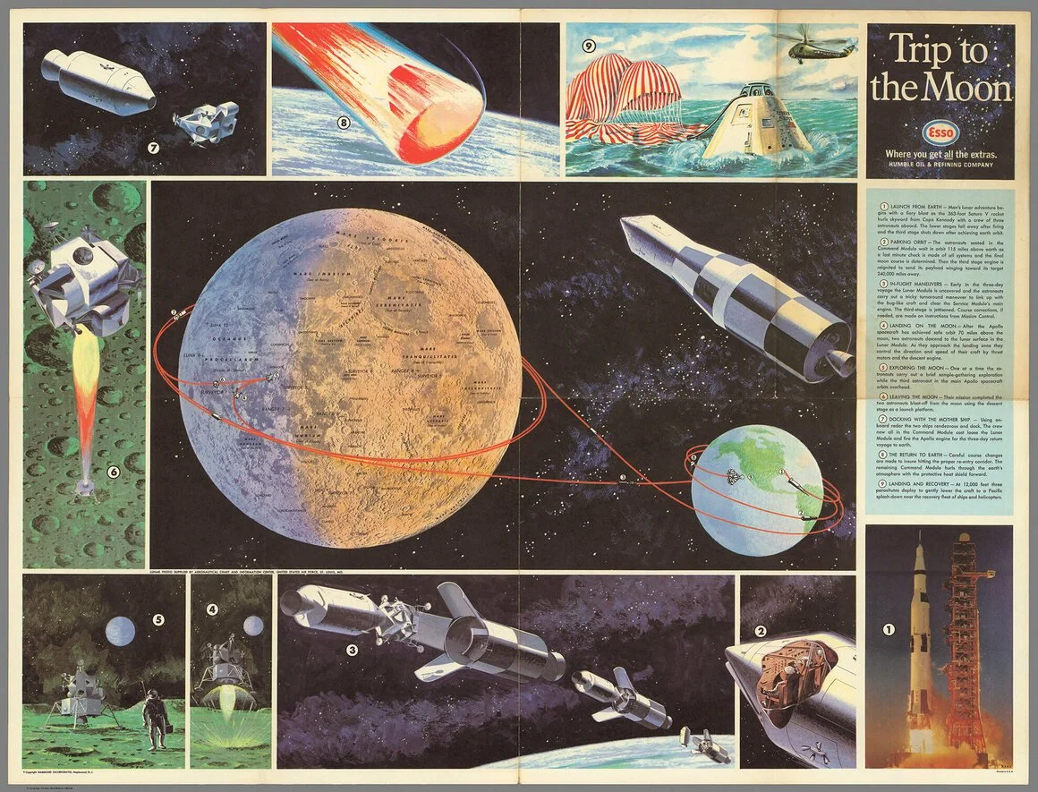
By the time I joined NASA in 1983, the US had launched the shuttle program, with astronauts orbiting Earth and later visiting the International Space Station. The space race was over, and global cooperation was the new trend. With the end of Apollo came the end of the frenzied excitement that glued the world to television screens in every country. I joined NASA two weeks before Sally Ride’s historic flight, STS-7, which ushered in a new climate of gender equality to the agency.
ISDC 2024 Video Clips
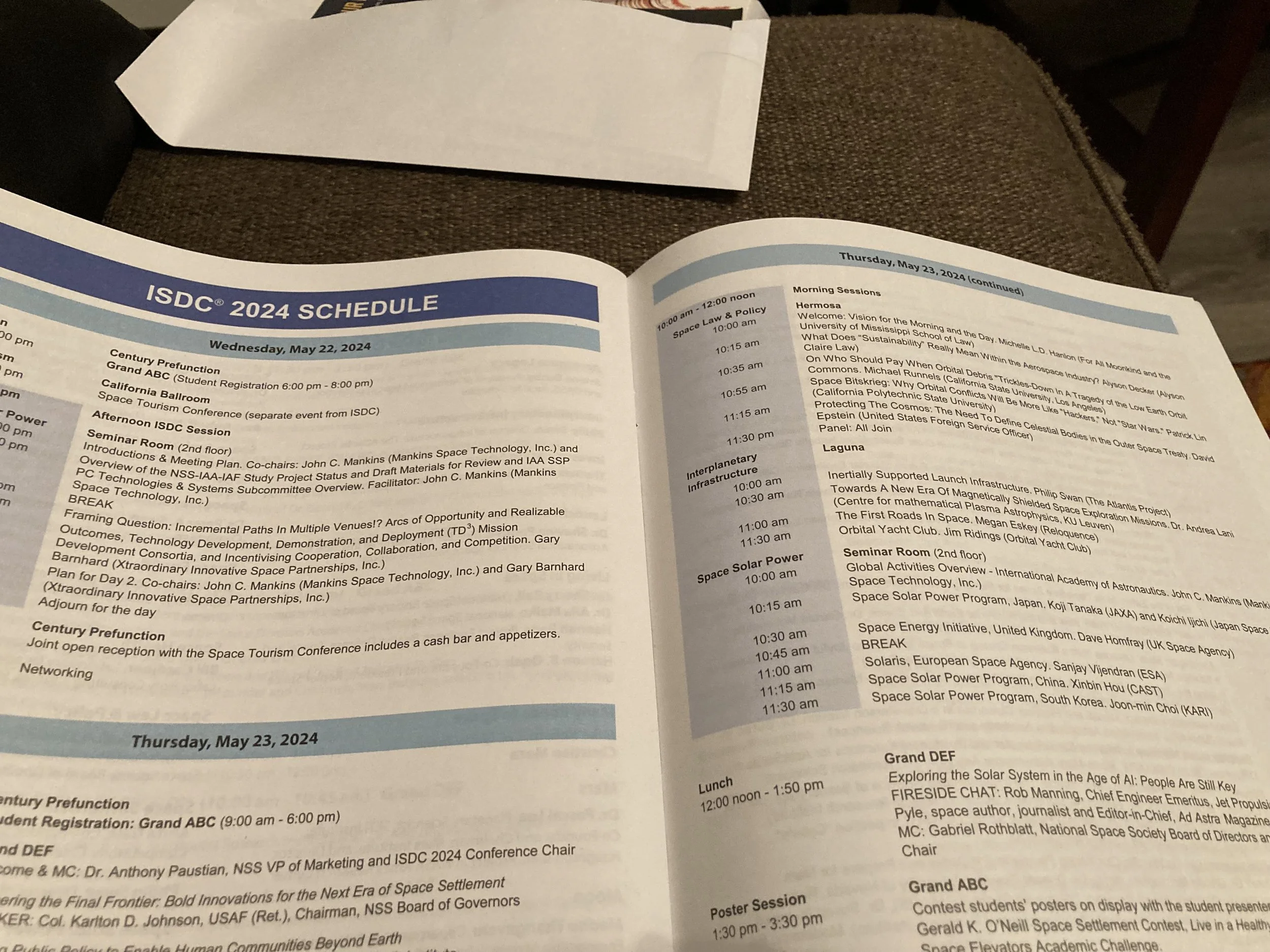
I'm extremely happy with both presentations at ISDC 2024, and thrilled to have the recorded versions to post on YouTube, to document this momentous occasion in space history. I was consistently surprised to discover, and then validate, that no one beat us to it. It seems so obvious and simple, and I still can't understand how it could possibly be true. As far back as the invention of the telescope in the early 1600s, the Jesuit astronomers could have made some primitive maps showing routes between the lunar landforms.

ISDC 2024 Launch Pad Lightning Rounds
Not all space-related topics demand a full half-hour to explain, and some emerging ideas at the ISDC are simply so innovative and unique that they have not yet been fully explored and developed. The Launch Pad Talks are home to some of the most exciting ideas in space exploration, development, and settlement, by some of the newest voices in the field, all in the span of seven minutes!
Homo planetarius
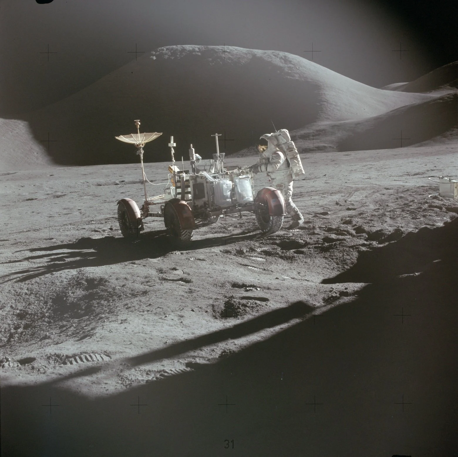
Imagine a sinuous sulcus of rover tracks on the Moon from the standpoint of Homo planetarius, an advanced human species, a million years from now. On the lunar surface, where no wind or atmosphere erases the past, they will stand as enduring relics - symbols of immortality. Much like the Mayan or Egyptian pyramids, they will whisper of the mystery and mastery of an ancient, space-faring civilization. Earth will be unrecognizable then, with most of our architectural structures demolished, but the planetary roads will remain unchanged. There will be only one system of lunar roads but many more lunar missions over the next 1000 millennia. How often do we get the opportunity to design and build something that will still be intact millennia later? These are the first roads in space.
Space Mining
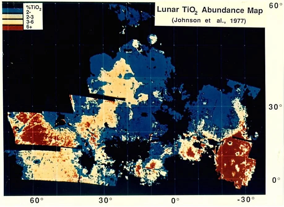
Reloquence is exploring a range of possibilities for landing sites and destinations on the Moon, including locations that are thought to be rich in helium-3 (He-3) or would provide natural shelters for human explorers. An abundance of domes, cones, and volcanic rilles and channels is characteristic of the Marius Hills. The Lunar Reconnaissance Orbiter photographed a pit that could be a skylight in a lava tube, indicating that part of its roof has collapsed, as often happens after lava tubes cease to be active. Rilles are collapsed lava tubes. Lava tubes that are still intact could provide natural shelters for human explorers.