

Meet the Founder
Megan Eskey
We're not here to follow trends—we're here to build something timeless. With a blend of creativity, strategy, and heart, we help planetary cartography come to life.
We have defined a syntax for planetary addresses and a lexicon for the first roads in space. We are constructing a language for space roadbotics, in our collective quest to become a multiplanetary species.
The space roadbotics end game won’t be played in boardrooms, but rather in space agencies around the world. The next space race may literally be that: a race along the surface of the Moon.
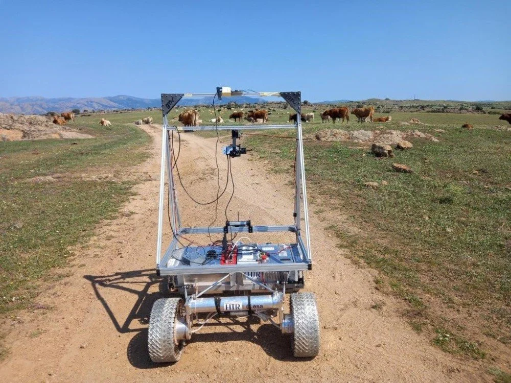
Roadbots
Although charting the planetary roadmaps is not frontier tech, launching a fleet of rovers to lay down a network of roads on the Moon and Mars is currently impractical. The issue is the speed of the autonomous rovers, which are quite slow due to the need to communicate with Earth. GMV is one of the first companies to explore the issue of rapid rovers, via the European Space Agency’s GSTP program.
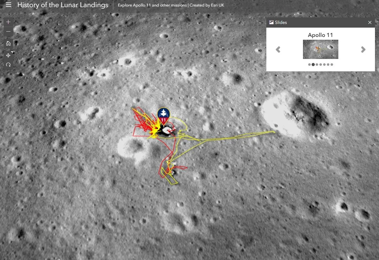
Mapping the Moon and Mars using QGIS and ArcGIS
Do you have an interest in making digital maps of the planets? If so, the two biggest software competitors today are Esri’s ArcGIS, a proprietary solution, and Quantum GIS, an open source solution. Although either can do most of anything you would need for a planetary project, there are advantages and disadvantages to both, depending on what you want to accomplish.
The Caves and Canyons of Mars: Charting Optimal Roads Using the Eskey System
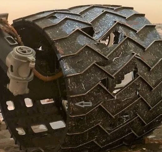
How many miles of planetary roads would we need on the Moon and Mars? I’ve estimated ~190K miles of roads on the Moon and ~280K miles on Mars. On Earth, roadbotics companies provide a service to governments around the world to objectively manage their road networks using artificial intelligence. In space, roadbotics might include autonomous rovers that are better, faster and cheaper with only one purpose: to leave their tracks for future explorers. Some of the Mars rovers leave their names in the tracks. In the image above, holes in Curiosity’s tire treads spell out JPL (Jet Propulsion Laboratory) in Morse code.