

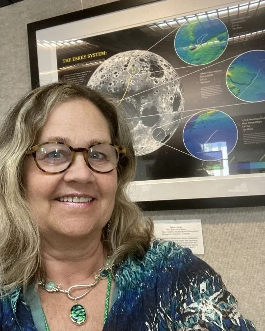
Meet the Founder
Megan Eskey
We're not here to follow trends—we're here to build something timeless. With a blend of creativity, strategy, and heart, we help planetary cartography come to life.
We have defined a syntax for planetary addresses and a lexicon for the first roads in space. We are constructing a language for space roadbotics, in our collective quest to become a multiplanetary species.
The space roadbotics end game won’t be played in boardrooms, but rather in space agencies around the world. The next space race may literally be that: a race along the surface of the Moon.
Mars
Our next step is to determine the Top 5 landing sites and destinations that are optimal for charting roads on Mars. To date, we have located 3 out of 8 Martian roads: Tharsis Cave Loop, Mark Watney Highway and Ray Bradbury Road. Connecting the Mars landing sites is another useful exercise, allowing for the definition of "safety zones" within, but not between, different countries, using locations defined by international researchers. We are actively seeking clients to commission our Mars maps, with 8 inaugural roads.
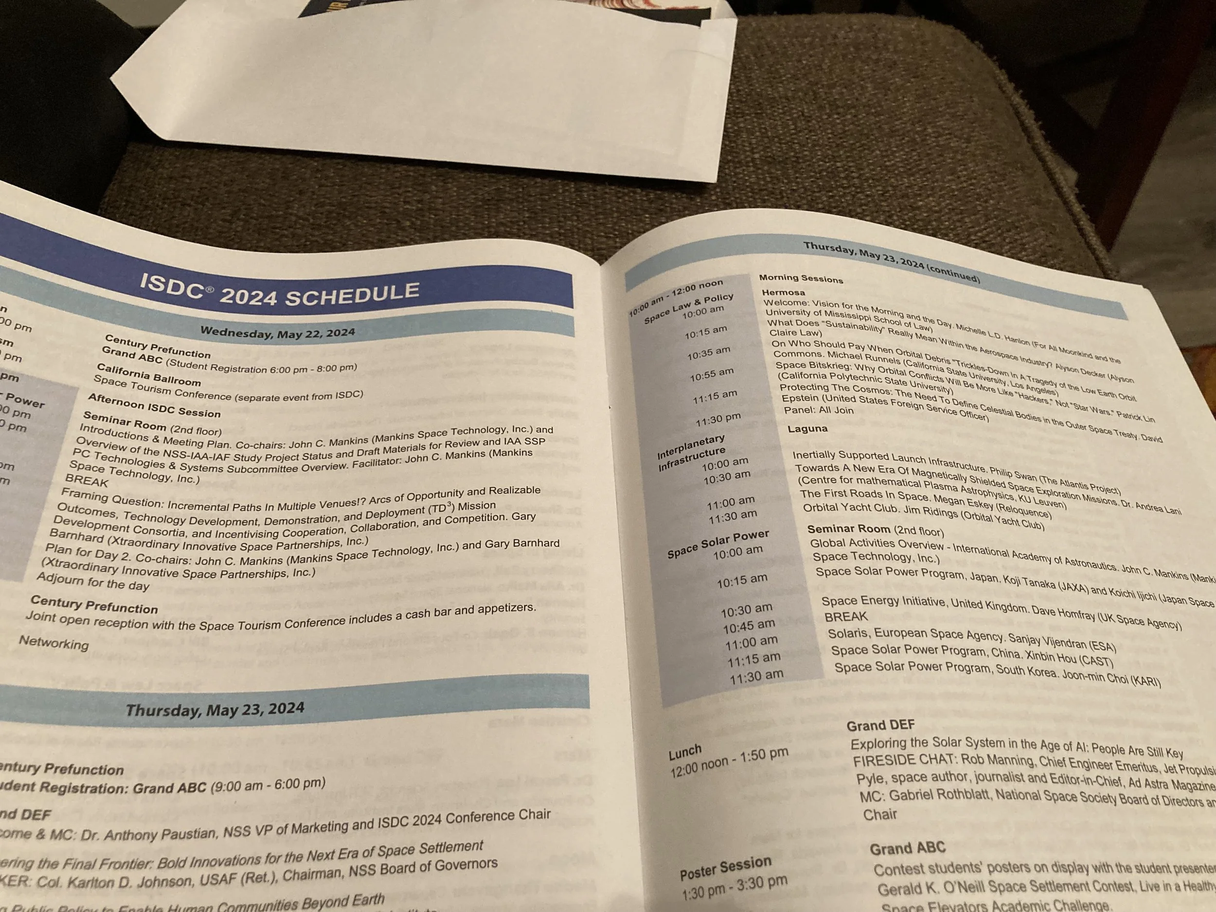
ISDC 2024 Video Clips
I'm extremely happy with both presentations at ISDC 2024, and thrilled to have the recorded versions to post on YouTube, to document this momentous occasion in space history. I was consistently surprised to discover, and then validate, that no one beat us to it. It seems so obvious and simple, and I still can't understand how it could possibly be true. As far back as the invention of the telescope in the early 1600s, the Jesuit astronomers could have made some primitive maps showing routes between the lunar landforms.
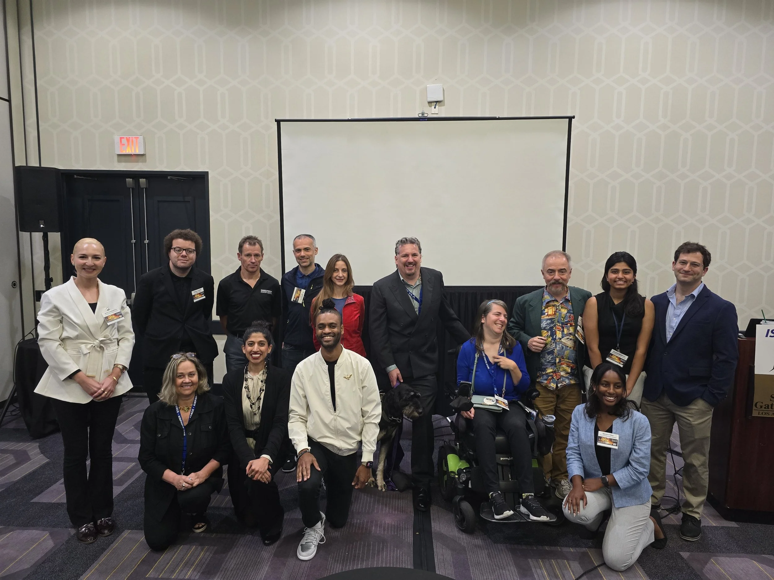
ISDC 2024 Launch Pad Lightning Rounds
Not all space-related topics demand a full half-hour to explain, and some emerging ideas at the ISDC are simply so innovative and unique that they have not yet been fully explored and developed. The Launch Pad Talks are home to some of the most exciting ideas in space exploration, development, and settlement, by some of the newest voices in the field, all in the span of seven minutes!
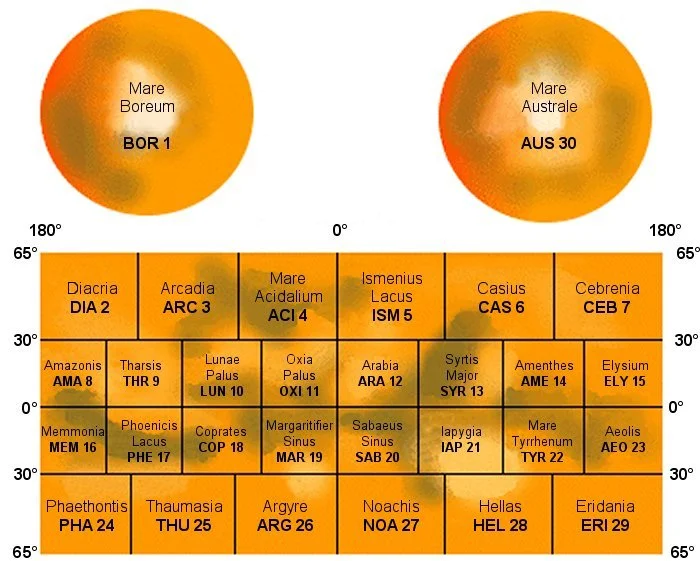
The Eskey System
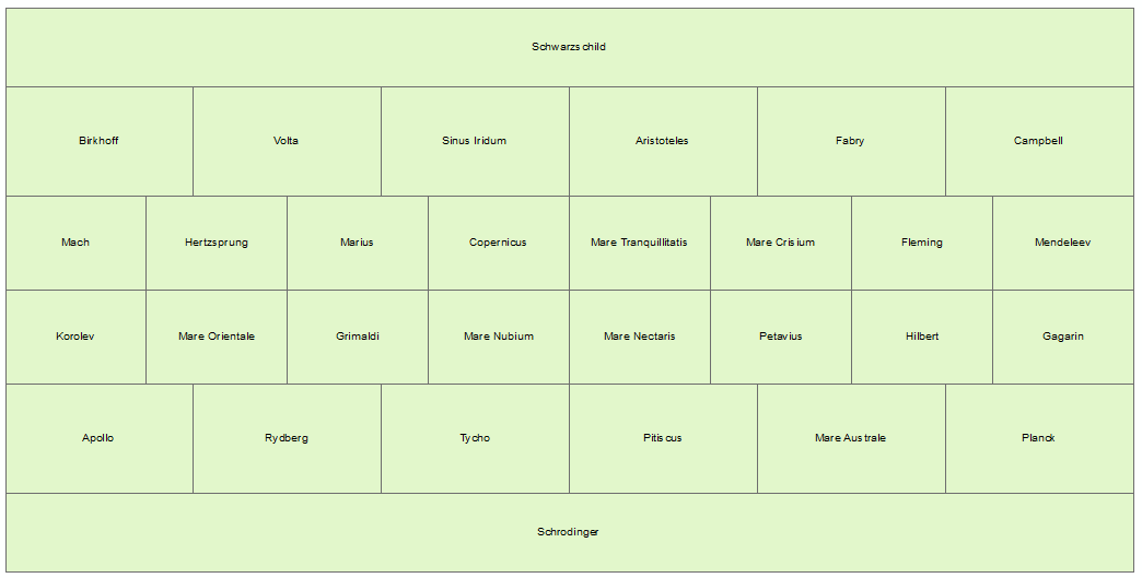
Quadrangles define regions on planetary bodies, but only a small subset have been named. The name is essential for my framework in that it defines the equivalent of a “city” or a “state.” The numerical astronomical charts are the equivalent of a “zip code.” A planetary address is a numerical identifier + a named planetary road + a named quadrangle + a numerical astronomical chart + the planetary body.
Naming the Planetary Roads
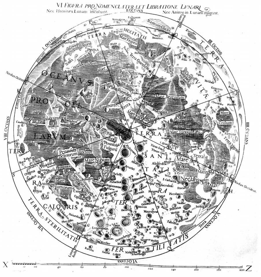
In the June 2023 Astrogator, I contributed an article that discussed the software options for creating a digital map of the Moon and Mars. I mentioned a system of planetary addresses based on low slope routes and quadrangles. One additional consideration is the creation of nomenclature guidelines to help inform the names of the newly charted planetary roads. We have a historical precedent in the creation of the first lunar map with named features by Giovanni Battista Riccioli and Francesco Maria Grimaldi in 1651, about 50 years after the invention of the telescope.

The Caves and Canyons of Mars: Charting Optimal Roads Using the Eskey System
How many miles of planetary roads would we need on the Moon and Mars? I’ve estimated ~190K miles of roads on the Moon and ~280K miles on Mars. On Earth, roadbotics companies provide a service to governments around the world to objectively manage their road networks using artificial intelligence. In space, roadbotics might include autonomous rovers that are better, faster and cheaper with only one purpose: to leave their tracks for future explorers. Some of the Mars rovers leave their names in the tracks. In the image above, holes in Curiosity’s tire treads spell out JPL (Jet Propulsion Laboratory) in Morse code.